Walkability
New Braunfels apartments near an H-E-B
How far each community sits from the closest full-line grocery store, measured on our map. Without a car, this decides how your week runs, not just whether a building is convenient.
- 6
- Within half a mile
- 19
- Within a mile
- 40
- Within a mile and a half
- $892
- Cheapest within a mile
Refreshed daily from a rental data service we subscribe to, community websites and our team's own checks. Last update November 7, 2026.
The list
Closest to a store first
| Community | Starting rent | To the store | Area |
|---|---|---|---|
| RiverStone | $1,011 | 0.1 mi | I-35 South Corridor |
| Tacara Westpointe Village | $946 | 0.2 mi | Veramendi & the West Side |
| Braunfels Place | $1,062 | 0.2 mi | I-35 South Corridor |
| The Devereaux | $945 | 0.3 mi | Veramendi & the West Side |
| Alexan Gruene Crossing | $1,199 | 0.3 mi | Loop 337 & the FM 306 Corridor |
| Mission Hill | $1,075 | 0.4 mi | Veramendi & the West Side |
| Moderno | $955 | 0.6 mi | Loop 337 & the FM 306 Corridor |
| La Sierra | $1,019 | 0.6 mi | Loop 337 & the FM 306 Corridor |
| Riverbend | $946 | 0.6 mi | I-35 South Corridor |
| Residences of Solms Village Apartments | ask | 0.7 mi | Loop 337 & the FM 306 Corridor |
| The Linden | $979 | 0.8 mi | Creekside & Freiheit Village |
| Riverhaus Creekside | $980 | 0.8 mi | Creekside & Freiheit Village |
| Avenues at Creekside | $1,010 | 0.8 mi | Creekside & Freiheit Village |
| Creekside Ranch | $1,823 | 0.8 mi | Loop 337 & the FM 306 Corridor |
| Lakeview Villas | $892 | 0.9 mi | Loop 337 & the FM 306 Corridor |
Straight-line distance to the nearest H-E-B store. Each starting rent is from our daily rent update.
Within a mile of a store
See these on the mapLive from the same bank the map reads. Closest to the store first.
Communities we work with
These are our picks, and we're paid a fee by many of them when someone leases. Everything below is ordered by the deal math, not by that.
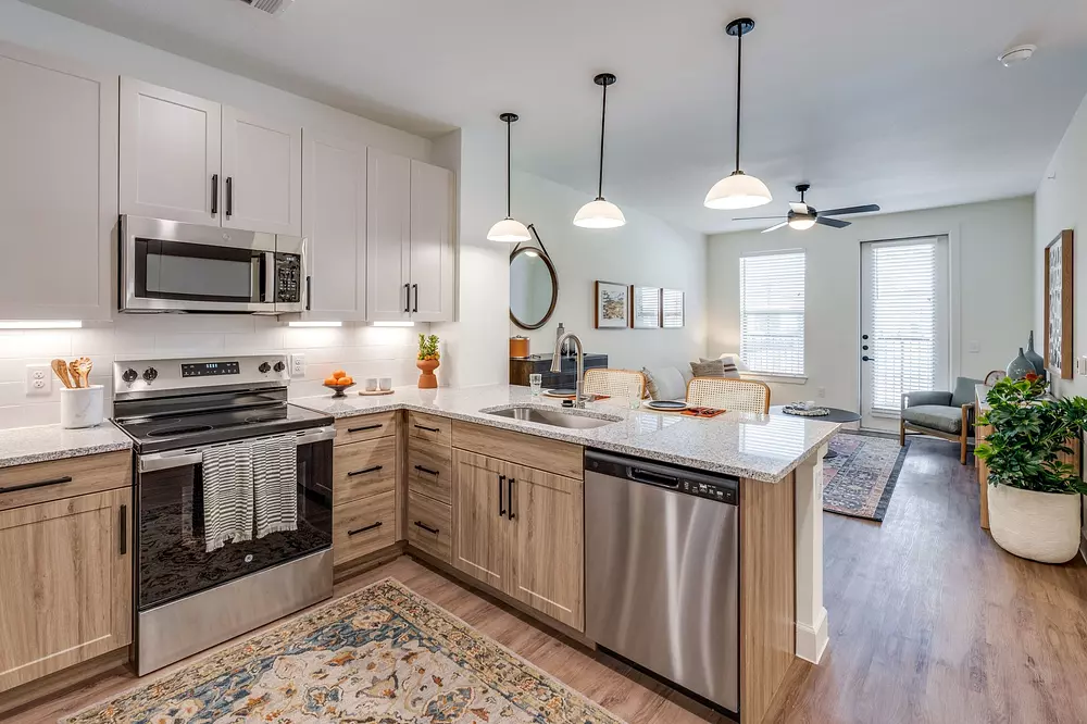
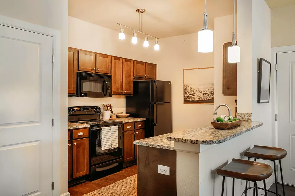
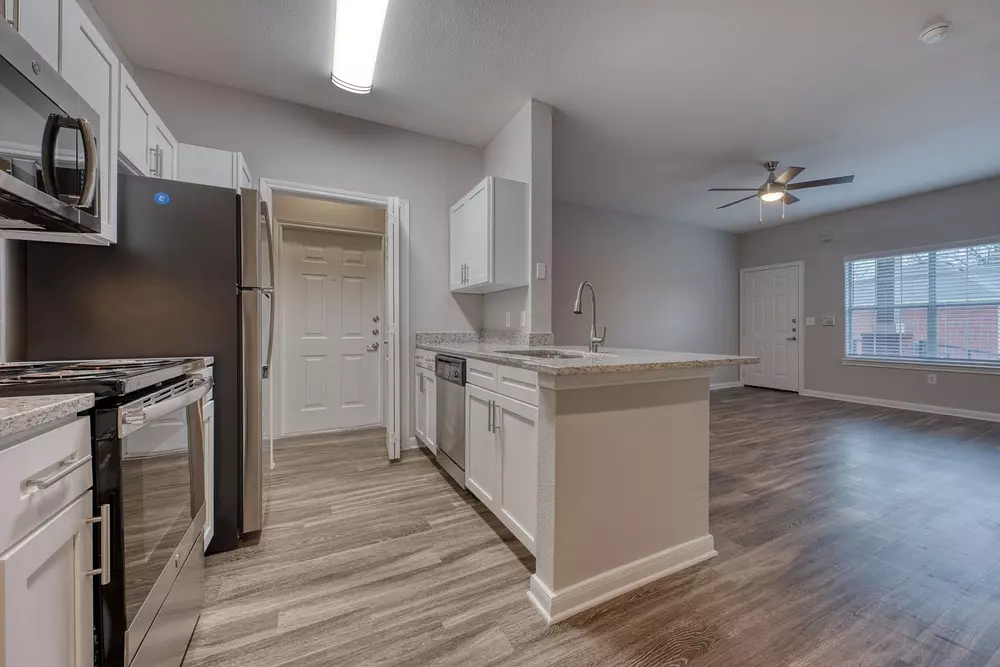
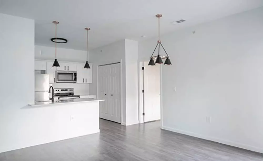
The rest of the walk
A store is one errand out of several
Groceries are the errand that decides whether a car is optional, but they are not the only one. The pharmacy, the laundromat and a bus stop that runs on a useful schedule all matter to the same renter, and none of them travel together in New Braunfels.
If you are trying to live here without a car, tell us and we will check the whole set for a shortlist rather than just the one you can measure on a map.
Every community within a mile and a half of a store (40)
The full roster behind the numbers above.
- The Current · from $799 · Creekside & Freiheit Village
- Northwood Luxury Apartments · from $804 · Loop 337 & the FM 306 Corridor
- Lakeview Villas · from $892 · Loop 337 & the FM 306 Corridor
- Laurel Heights · from $919 · Downtown, Main Plaza & Landa Park
- The Devereaux · from $945 · Veramendi & the West Side
- Tacara Westpointe Village · from $946 · Veramendi & the West Side
- Riverbend · from $946 · I-35 South Corridor
- Moderno · from $955 · Loop 337 & the FM 306 Corridor
- The Landings at Creekside · from $964 · Creekside & Freiheit Village
- Berkshire Creekside · from $965 · Creekside & Freiheit Village
- Prose Evergreen · from $975 · Creekside & Freiheit Village
- The Linden · from $979 · Creekside & Freiheit Village
- Riverhaus Creekside · from $980 · Creekside & Freiheit Village
- Stone Haven · from $994 · I-35 South Corridor
- New Braunfels Heights · from $995 · Loop 337 & the FM 306 Corridor
- Avenues at Creekside · from $1,010 · Creekside & Freiheit Village
- RiverStone · from $1,011 · I-35 South Corridor
- Cotton Crossing · from $1,014 · Gruene Historic District
- La Sierra · from $1,019 · Loop 337 & the FM 306 Corridor
- Elevate at Sundance · from $1,019 · Loop 337 & the FM 306 Corridor
- Braunfels Place · from $1,062 · I-35 South Corridor
- Mission Hill · from $1,075 · Veramendi & the West Side
- The Sage · from $1,075 · I-35 South Corridor
- Oak Creek · from $1,087 · Loop 337 & the FM 306 Corridor
- Creekside Vue · from $1,095 · Creekside & Freiheit Village
- Gateway to Gruene · from $1,097 · Gruene Historic District
- The Sophie · from $1,134 · Loop 337 & the FM 306 Corridor
- The Abbey at Veramendi · from $1,169 · Veramendi & the West Side
- Comal Crossing at Creekside · from $1,169 · Creekside & Freiheit Village
- Alexan Gruene Crossing · from $1,199 · Loop 337 & the FM 306 Corridor
- Landhaus at Gruene · from $1,215 · Loop 337 & the FM 306 Corridor
- Collection at Gruene · from $1,353 · Gruene Historic District
- The Landmark · from $1,450 · Downtown, Main Plaza & Landa Park
- Creekside Terrace · from $1,799 · Creekside & Freiheit Village
- Creekside Ranch · from $1,823 · Loop 337 & the FM 306 Corridor
- Villas at Creekside · from $1,969 · Creekside & Freiheit Village
- Braunwood at Town Creek · from $2,147 · Downtown, Main Plaza & Landa Park
- Residences of Solms Village Apartments · price on request · Loop 337 & the FM 306 Corridor
- Braunfels Haus · price on request · Downtown, Main Plaza & Landa Park
- Dwelling at New Braunfels · price on request · Loop 337 & the FM 306 Corridor
Questions renters actually ask
How is the distance measured?+
In a straight line, from where the community sits on our map to the closest H-E-B on it. On foot it is always farther, and by how much comes down to whether you can cross where you need to.
Can I actually live here without a car?+
Within half a mile of a store, yes, for groceries at least. 6 of the communities we track sit inside that radius. Beyond a mile, carrying a week of groceries stops being realistic and you are relying on a bus, a bike with panniers, or delivery.
Do you track other grocery stores?+
We track full-line grocery stores, which in New Braunfels means H-E-B. Convenience stores and specialty shops are not counted. They do not solve the weekly shop.
Does living near a store cost more in rent?+
Not reliably in New Braunfels. The stores here sit near the main roads rather than in the expensive parts of town, so living near one buys convenience rather than a premium.
Keep reading
Downtown and Landa Park
Where a car is closest to optional here.
Downtown and Main Plaza
The courthouse, the springs and the park.
The I-35 corridor
Cheapest square footage, longest errands.
Room for a dog
Dog runs, pet washes and fenced yards.
True cost calculator
What the whole month actually costs.
The live map
Turn on the grocery filter and see for yourself.